
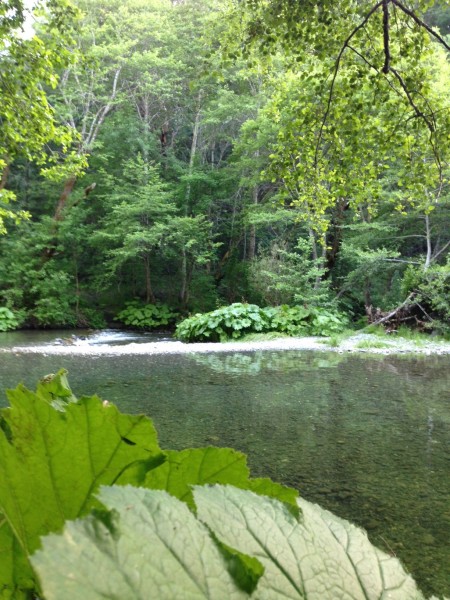
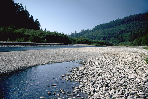
 The South Fork Trinity River is one of the largest undammed river systems in California. The river and its tributaries support important populations of threatened and endangered salmon and steelhead and old-growth forest dependent wildlife species. The river and tributaries also offer outstanding outdoor recreation opportunities.
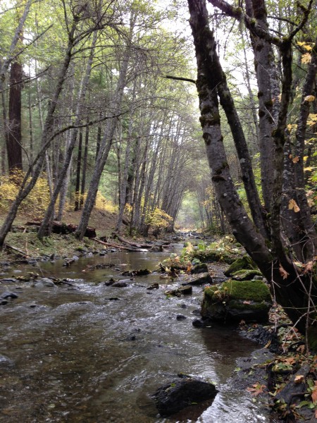
The East Fork South Fork with headwaters in the Yolla Bolly Middle Eel Wilderness provides the greatest amount of habitat in the upper South Fork Trinity system for spring Chinook salmon and winter steelhead, contributing significantly to the maintenance of fish communities throughout the entire South Fork watershed.
Fish biologists identified the East Fork South Fork to be a high priority watershed for the recovery of depressed South Fork fish stocks. Although its watershed is recovering from past forestry abuses, the stream possesses the greatest amount of fish habitat in the South Fork system and will play a key role in the recovery of the South Fork as one of the most productive steelhead streams in the region. The East Fork South Fork also supports coho salmon and its watershed provides habitat for spotted owl, goshawk, Peregrine falcon, and Pacific fisher and several sensitive plants.
Management Agency: U.S. Forest Service ~ Shasta-Trinity & Six Rivers National Forests
Location: Trinity & Humboldt Counties, CA 2nd Congressional District
Watershed: Trinity River
Proposed Wild & Scenic River Miles: 11.8
Outstanding Values: Anadromous fisheries, ecological, recreation
 The South Fork Trinity River is one of the largest undammed river systems in California. The river and its tributaries support important populations of threatened and endangered salmon and steelhead and old-growth forest dependent wildlife species. The river and tributaries also offer outstanding outdoor recreation opportunities.
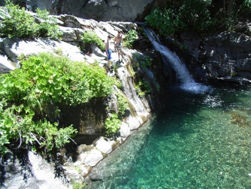
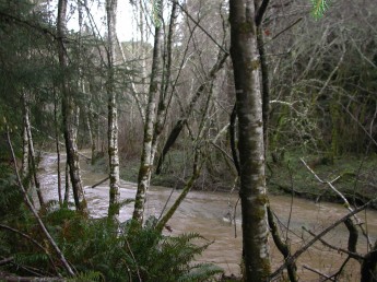 The Headwaters Forest Reserve encompasses the headwaters of the Little South Fork Elk River and Salmon Creek. These streams are key components of the old-growth redwood forest community. The ecological values of the streams include unparalleled diversity of plant and animals species, including old growth redwoods, marbled murrelet, northern spotted owl, bald eagle, Coho and Chinook salmon, and steelhead. Salmon Creek in particular is dominated by old growth redwood forest and possesses abundant woody debris and deep pools – key habitat features needed for healthy salmon and steelhead fisheries. The stream corridors are also rich in historic and prehistoric resources.
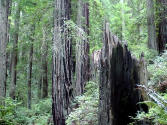
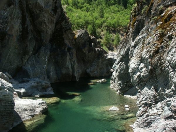
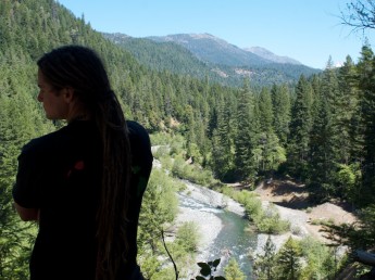 These proposed Wild and Scenic Rivers flow from the magnificent Trinity Alps Wilderness, providing important habitat for salmon and steelhead migrating to and from the Trinity River, as well as outstanding outdoor recreation opportunities and scenery.
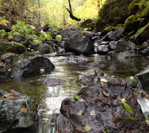 The South Fork Trinity River is one of the largest undammed river systems in California. The river and its tributaries support important populations of threatened and endangered salmon and steelhead and old-growth forest dependent wildlife species. The river and tributaries also offer outstanding outdoor recreation opportunities.
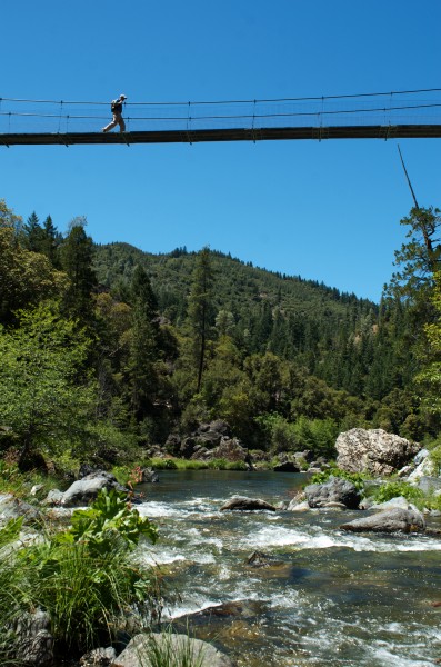 The South Fork Trinity River is one of the largest undammed river systems in California. The river and its tributaries support important populations of threatened and endangered salmon and steelhead and old-growth forest dependent wildlife species. The river and tributaries also offer outstanding outdoor recreation opportunities.
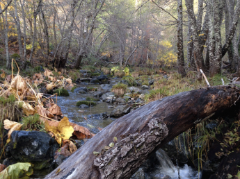 The South Fork Trinity River is one of the largest undammed river systems in California. The river and its tributaries support important populations of threatened and endangered salmon and steelhead and old-growth forest dependent wildlife species. The river and tributaries also offer outstanding outdoor recreation opportunities.